Maps of Baltic and Scandinavia
- Maps of Albania
- Maps of Andorra
- Maps of Austria
- Maps of Belarus
- Maps of Belgium
- Maps of Bosnia-Herzegovina
- Maps of Bulgaria
- Maps of Croatia
- Maps of Czech Republic
- Maps of Denmark
- Maps of Estonia
- Maps of Finland
- Maps of France
- Maps of Germany
- Maps of Gibraltar
- Maps of Greece
- Maps of Guernsey
- Maps of Hungary
- Maps of Iceland
- Maps of Ireland
- Maps of Isle of Man
- Maps of Italy
- Maps of Jan Mayen Island
- Maps of Jersey
- Maps of Latvia
- Maps of Liechtenstein
- Maps of Lithuania
- Maps of Luxembourg
- Maps of Macedonia
- Maps of Malta
- Maps of Moldova
- Maps of Monaco
- Maps of Montenegro
- Maps of Netherlands (Holland)
- Maps of Norway
- Maps of Poland
- Maps of Portugal
- Maps of Romania
- Maps of Russia
- Maps of San Marino
- Maps of Serbia
- Maps of Slovakia
- Maps of Slovenia
- Maps of Spain
- Maps of Sweden
- Maps of Switzerland
- Maps of Ukraine
- Maps of United Kingdom
- Maps of Vatican City
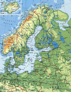
Detailed elevation map of Scandinavia.
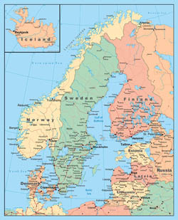
Detailed political map of Scandinavia.
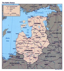
Detailed political map of the Baltic States – 1994.
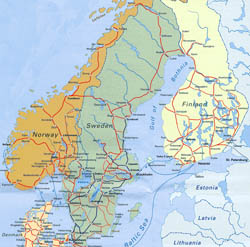
Detailed railways map of Scandinavia.
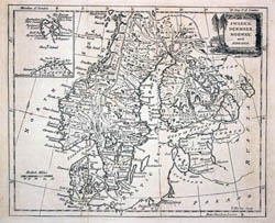
Large detailed old map of Scandinavia – 1780.
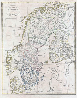
Large detailed old map of Scandinavia – 1799.
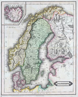
Large detailed old map of Scandinavia – 1840.
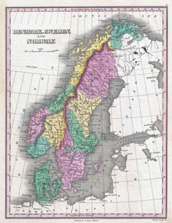
Large detailed old political map of Scandinavia – 1827.
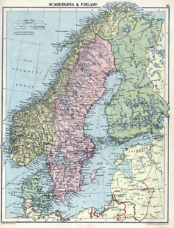
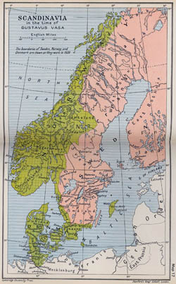
Large detailed old political map of Scandinavia with relief – 1920.
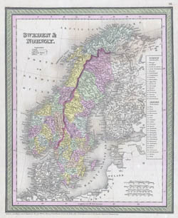
Large detailed old political map of Sweden and Norway – 1850.
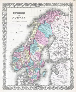
Large detailed old political map of Sweden and Norway with relief – 1855.
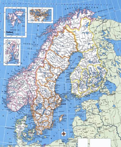
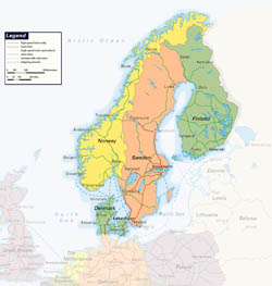
Large detailed political map of Norway, Sweden, Finland and Denmark.
Large detailed railways map of Scandinavia.
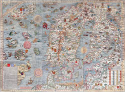
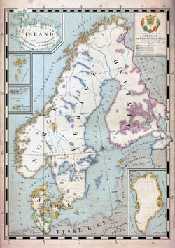
Large old illustrated map of Scandinavia.
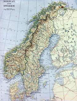
Large old map of Norway and Sweden with relief, roads and cities – 1922.
Large old map of Scandinavia – 1523.
Large old map of Scandinavia.
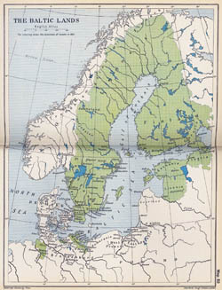
Large old map of the Baltic Lands – 1661.
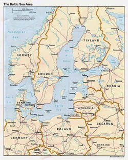
Large political map of the Baltic Sea Area – 1994.
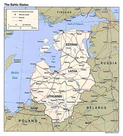
Large political map of the Baltic States with roads and major cities – 1994.
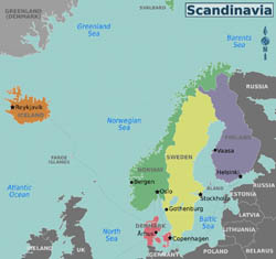
Large regions map of Scandinavia.
Maps of Baltic (Baltic States) and Scandinavia. All Baltic and Scandinavian countries on the maps. Detailed political, relief, road and other maps of Baltic and Scandinavia. Baltic and Scandinavia maps.

